

Via ferrata in Méribel
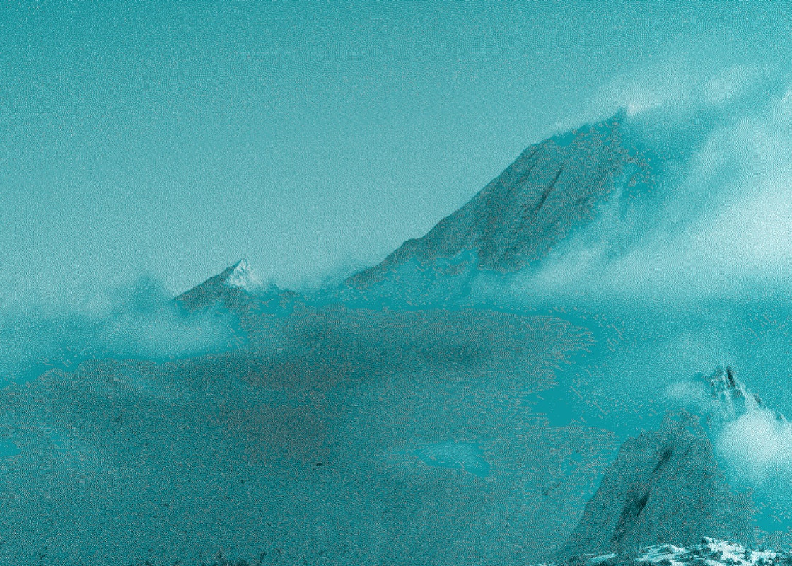
Via ferrata de la Dent de Burgin
France's highest one !
A very aerial atmosphere for this via ferrata at altitude, where you climb to around 2700m. The program includes a long traverse along the ridge, with easy sections for admiring the view, and more challenging and impressive sections where you climb to the top of the needles using the rungs.
The atmosphere is almost Dolomite, with numerous needles rising skywards. The route is unique and the panorama of Mont Blanc and the highest peaks of the Vanoise and Ecrins ranges is breathtaking.
Level: Difficult
Duration: approx. 3 hours ascent from the summit of Saulire and 1h30 descent.
Access: take the Verdons and Saulire gondolas and continue with a short 15-minute approach walk to the start of the via ferrata.
Lac de la Rosière Via ferrata
An idyllic setting
Overlooking the magnificent Lac de la Rosière, this itinerary is ideal for beginners, but also offers some great sections for more experienced climbers.
The 600m-long via ferrata is divided into 2 sections:
The start overlooks the left bank of the lake before leading to a 57m monkey bridge (escape route), which is moderately stable, followed by a long ascending traverse.
A long footbridge (possible escape route) takes you to the right bank of the lake. On this second section: a beam ("le pont des tafones"), a long final traverse and a bucolic flat spot on the edge of the forest. The whole way back down to the lake.
Level: Not very difficult
Duration: 2h - 2h30
Access: parking lot nearby. No approach walk.
La Via Cavo del Mey
A vertigo-inducing hike
At an altitude of 2780 m, the Via Cavo del Mey vertigo trail, or Aiguille de Mey tower, is accessible thanks to the installation of a handrail. Some passages are similar to a via ferrata.
You need to reach the Brèche de la Portetta, then continue along the impressive rock towers to reach the starting point at the foot of the Aiguille de Mey wall.
In a breathtaking, aerial setting, where rock dominates space, the cabled high-altitude trail offers a superb panorama of the Vanoise ice cap, Grande Casse and Aiguille du Fruit.
Level: Difficult
Duration: approx. 6 hours on foot
Access :
On foot: From Le Belvédère, follow the signs for the "Brèche de Portetta" (3h30 ascent): head up the Vallée des Avals to the Brèche de la Portetta.
Follow the blue paint dots to reach the start of the via, a 15-minute walk from the Brèche de Portetta.By VTTAE: From Le Belvédère, follow the signs for "Petit Mont Blanc" through Les Avals to the Col des Saulces, following the carriage road.
Leave your bikes at the Col de Saulces and continue on foot towards Brèche de Portetta (1h20 ascent), then follow the "on foot" description above.


Next door in Les 3 Vallées
Other via ferrata for pure addicts
Via Ferrata du Levassaix in the Belleville valley
A horizontal route built on a rocky bar just above the village of Levassaix, perfect for discovering the activity with the whole family, or for a confident beginner.
Level: slightly difficult
Duration: approx. 1h on the via - overall outing approx. 2h
Access: on the D117 1 km before Les Menuires, take the road to the right, towards Levassaix, and park immediately on the right, after the fork in the road. 15-minute approach walk on a footpath.
Via Ferrata du Cochet in the Belleville valley
More technical than Le Levassay, this via ferrata is also closer to climbing, with more contact with the rock. The route overlooks the village of Saint-Martin-de-Belleville, with its light quartzite cliffs and bright, sometimes orange rock.
Level: Quite Difficult
Duration: approx. 3h30 total
Access: from Saint-Martin-de-Belleville, climb up to the village of Chatelard and follow the track to the Pralanfra chalets. Then a 20-minute approach walk along the trail.


